Friday, 12 April 2024
Wednesday, 10 April 2024
Las Palmas
We meet our tour group and guide at 9:15 at a bus stop in a park about a 15-minute walk from our hotel. The weather here is pleasantly cool, but will get warmer as we ascend into the central mountains and then down again to the very south coast of the island. Pavel, the tour guide originally from the Czech Republic, is among the best I have encountered; the 25 passengers on the bus are friendly and multi-national; the commentary is mostly in English.
From the city we drive west to Mirador Pico de Bandama, the largest volcanic crater on the Island. Although all the Canaries are volcanic, Gran Canaria has not had an eruption for 2,000 years. From here there are panoramic views of all the northern part of the island, which is the part most suitable for agriculture, having more water than other parts of the island (although there are serious water shortages all over the Canaries). At the bottom of the crater stands a lone white house, occupied by the same man for over 93 years; he died just two years ago.
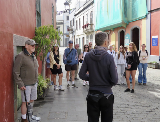
From here we drive on to the small town of Santa Brigida, higher in the mountain range that runs down the center of the island, where we have a 30-minute walk around the historic center.
 |
| Our Guide, Pavel—back to camera—Introduces the Town |
 |
| The View from Santa Brigida |
 |
| Public Art on Display Everywhere |
 |
| A Final View of the Pretty Town |
The tour bus and it’s excellent driver negotiates the winding rounds that take us up to the highest point on the island: Pico de las Nieves.
Besides the surrounding views, we can visit an historic well used for collecting snow in the winter.
 |
| Reflection of Well-Cover Bars on Stone Walls Inside the Well |
 |
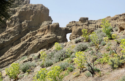
| Rocks and Stone Arch Viewed from the Well Three Views from Atop Pico de Nieves |
 |
| Another “Big-Ass” Rock, with a Smaller Frog Rock to Its Left, Marks the Highest Point Lava Reached During the Last Eruption over 2,000 Years Ago |
 |
| Wild Sea Onion Flowers Bloom Among the Pine Tree Trunks Burned in the Most Recent Forest Fire |
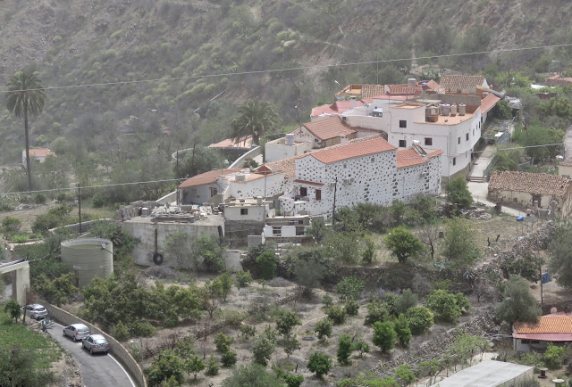
After all this altitude we head southward and down more curving mountain roads to the village of San Bartlome de Tirajana, where we visit a museum in the former home of a well-to-do family. The furnishings are all original.
A short walk from the museum brings us to another viewpoint over the valley below.
Finally, about three in the afternoon, we reach the Playa des Ingles in Maspolomas, the southernmost point of the island. This is the beach resort where hundreds of thousands of Northern Europeans come to escape the cold of winter. More fascinating than the beach and all the hotels and cottages are the large sand dunes, blown over from the nearby Sahara Desert over the past 200 years.
 |
| A Wading Bird looking for Dinner in the Fresh Water River |
 |
After a walk on the beach and cold ice cream in a cafe, we head back north to Las Palmas by freeway, arriving back at our hotel in 40 minutes. The trip southward through the mountains took seven hours.
Gran Canaria, as the tourist brochures proclaim, is really a whole continent on one island.


__03.jpg)